.png)
How We Work.
Clear process, calm delivery and evidence you can trust.
At Hawkwayl Drones, we work with clients who need reliable information to make decisions. Our approach is structured, transparent, and built around aviation discipline; meaning every survey is planned carefully, carried out safely, and reported clearly. Whether you manage buildings, land, or energy assets, our aim is the same; to give you usable evidence without disruption or unnecessary complexity.
Step 1: Understand the decision you need to make
Every project starts with a conversation. We focus on what you are trying to confirm or decide; not simply on flying a drone.
We will discuss:
-
The type of site and its use
-
The issue you are investigating; heat loss, moisture, drainage, performance, or condition
-
Timescales and operational constraints
-
Whether thermal imaging is the right tool for your question
If drone inspections are not appropriate, we will tell you. Honesty at this stage saves time and cost later.
Step 2: Plan the survey properly
Good results come from good planning. Drawing on aviation best practice, we plan each survey methodically.
This includes:
-
Site review and access considerations
-
Safety planning and risk assessment
-
Flight planning and timing to suit all conditions
-
Permissions and regulatory compliance
-
Agreeing deliverables and reporting format in advance
This preparation ensures surveys run smoothly on the day and deliver consistent, reliable data.
Step 3: On site data capture
On site, we work calmly and efficiently, with minimal disruption to people and operations.
You can expect:
-
Professional, safety first behaviour
-
Clear communication with site contacts
-
Structured flight patterns for repeatability where required
-
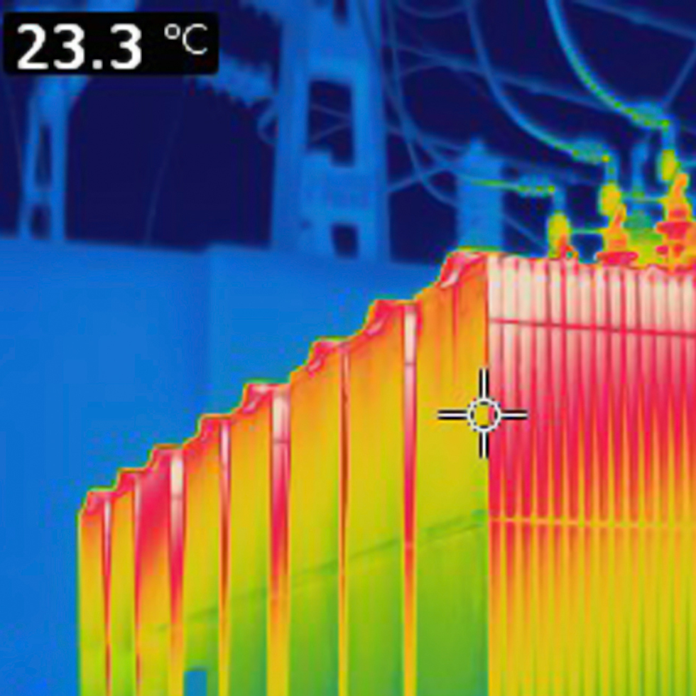
Capture of both thermal and high resolution visual imagery
Our aviation led approach means nothing is rushed and nothing important is missed.
Step 4: Analysis and interpretation
The data only becomes valuable when it is interpreted correctly. We review imagery carefully and highlight findings in clear reports.
This includes:
-
Comparing thermal and visual images
-
Identifying patterns and anomalies
-
Considering environmental and site conditions
-
Avoiding overstatement or assumptions
Where appropriate, we will highlight limitations and suggest further investigation rather than drawing unsupported conclusions.
Step 5: Clear reporting and delivery
You receive a tidy, structured report designed for decision makers.
Typically, this includes:
-
Key findings and priority areas
-
Annotated thermal and visual images
-
Location references to support follow up works
-
Practical commentary in plain English
Reports can be formatted to support contractors, maintenance teams, insurers, or asset managers.
Step 6: Ongoing support and repeat surveys
Many clients use Kestrel Drones as a repeat partner rather than a one off supplier.
We can support:
-
Seasonal or annual comparison inspections
-
Post repair validation
-
Asset monitoring programmes
-
Stakeholder or board level summary material
Consistency of data capture and reporting allows meaningful comparison over time.
What clients value most
-
A calm, professional presence on site
-
Aviation led safety and discipline
-
Honest advice about what drone inspections and thermal imaging can and cannot show
-
Clear outputs that reduce guesswork
-
Evidence that supports confident decision making